|
Penang Hills and Trails - Balik Pulau Explorer
6 |
|||||||||||||||||||||||||||||||||||||||||||||||
|
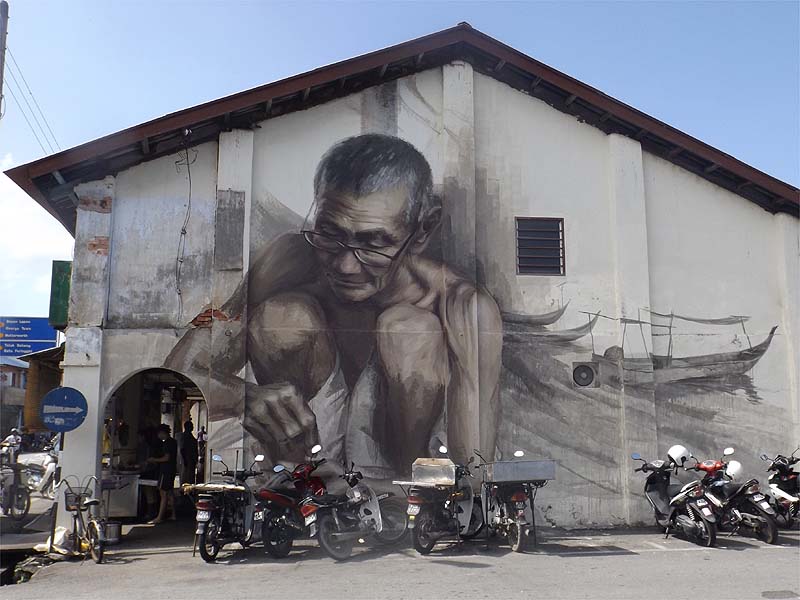
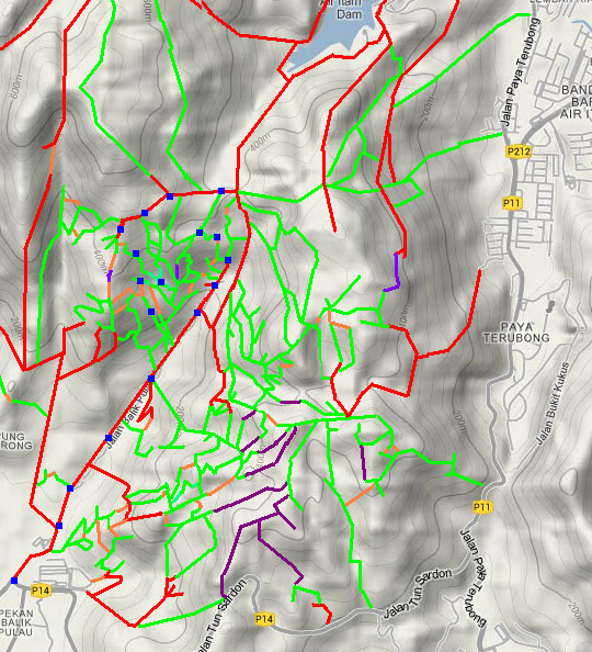
This is one of a series of pages on walking the hills of Penang, click here for the index. This is a Grade 2 walk. There is a sketch map at the bottom showing the route followed. Please visit my Penang buses page for information on accessing the starting point. This is a follow up to our recent Balik Pulau Explorer 5 report. Walking out from Balik Pulau on the famous Air Itam Road, there are more than a few paths on the left hand side and we were getting close to mapping them all and working out how to combine them in different ways to climb up to the 'Temple with the View'. Today's walk provided a couple of what for us were new paths and a growing realisation that not only was it hard to go wrong coming down, but that going up also offered relatively few chances to go wrong. In other words, going left and then right tends to bring you out in the same place as you would get to going right and then left. Of course, some routes have more dogs than others... First though, I have to show this magnificent mural which has appeared on the end of the shop houses in the main street. Unfortunately, since the Old Market next door is now a car park, motorcycles park up against it like dogs peeing on lamp posts.
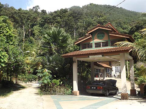
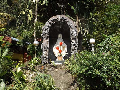
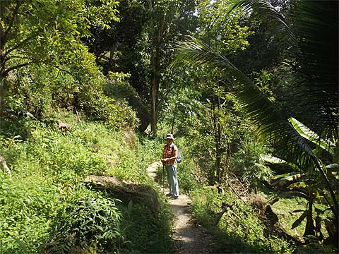
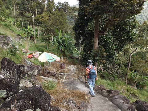
We turned off the main road at the NH 4 80 pole and walked up through 'The Valley'. It's not really the sort of place one should walk right past the front door but as they seem to take paying guests, they don't seem to mind at all. We have talked with them before and they are just as friendly as their less well off counterparts in the hills. Unusually the family is Christian.
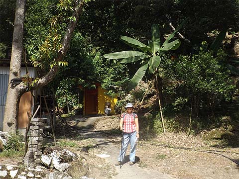
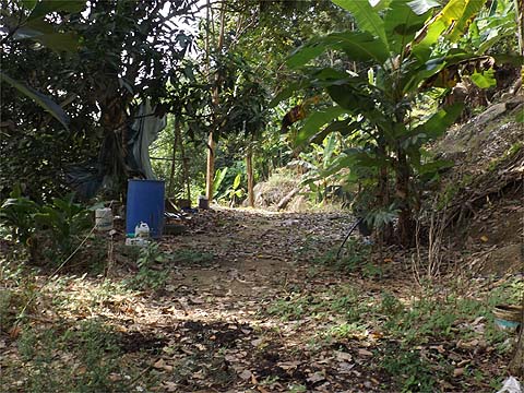
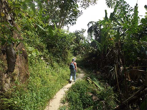
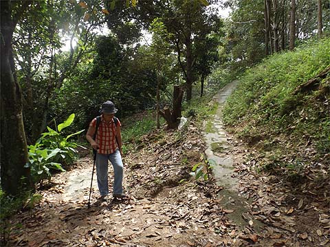
Going up this way is not only pleasant, it avoids some 500m on the main road. Where the road finishes, continue up the path through the orchard.
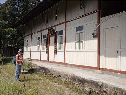
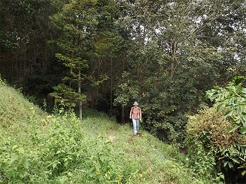
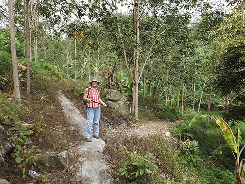
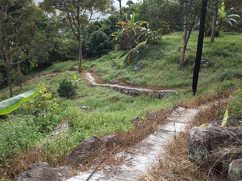
After a short while, another path comes in from the right (this takes off from pole NH 4 58) and again it's a pleasant climb. The path reverses direction and you meet the end of a complex pole line (NH 2 75 18 18) which for a change is actually of no great use in following a route. We turned left here and leaving a path up to the right for another time we passed in front of a well maintained but apparently unoccupied house. Yuehong said that unusually the sign indicated that it belonged to the daughter-in-law's parents.
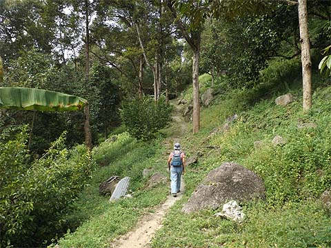
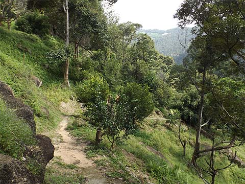
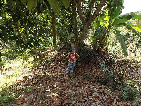
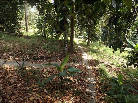
It was an excellent path even if obviously not greatly used. As we came to the edge of the orchard I was very conscious that we would now not be too far from the wide track that comes up from just before 'The Valley' house.
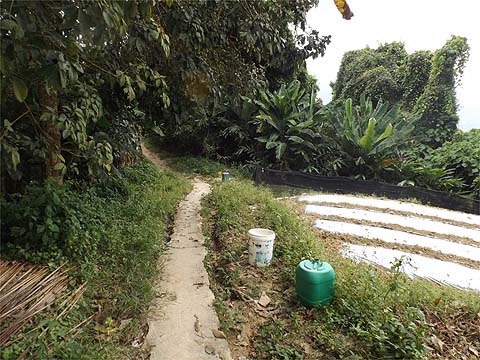
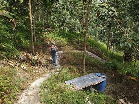
Where the concrete finished, a water pipe continued, I wouldn't call it a path but it was easy enough to follow and crossing the rocks and scrambling up, I was not at all surprised to find myself on familiar territory - going straight ahead and down would indeed come to The Valley again. I'd come across this way on a previous occasion but had turned back before reaching the path.
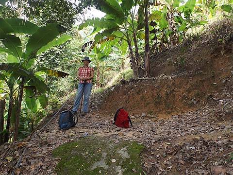
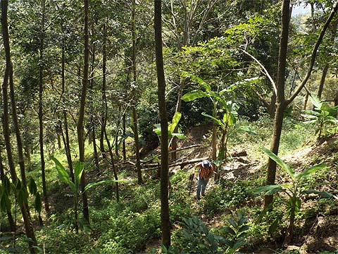
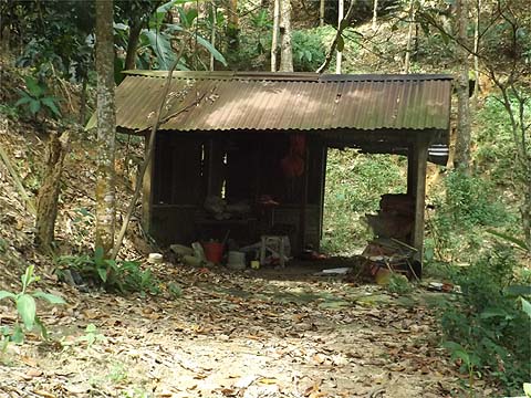
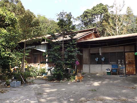
So we continued up the path which obviously sees only seasonal use. Such paths in these hills tend to either end in tears with near impenetrable jungle or reach rubber, which of course may have jungle above it too. This time, we reached young rubber and there was a loud canine welcome which suggested a hut and a much better kind of path out.
Indeed, we soon found ourselves on a concrete trail of the contour variety. I checked left but as I expected, it didn't go far and ahead was the cleared area above the end of the road up from 'The Valley'. No point to try this, we knew beyond it was secondary jungle as we had climbed through it previously. We turned right and saw the hut above us. There was just one junction and it's likely the path went to the hut (and maybe beyond) but for now we needed to know where the main path came out.
I feared it might have gone down, but in fact it was a delight, winding along horizontally, just what was needed after a quite steep climb.
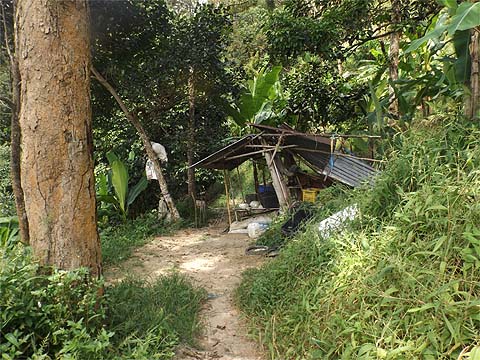
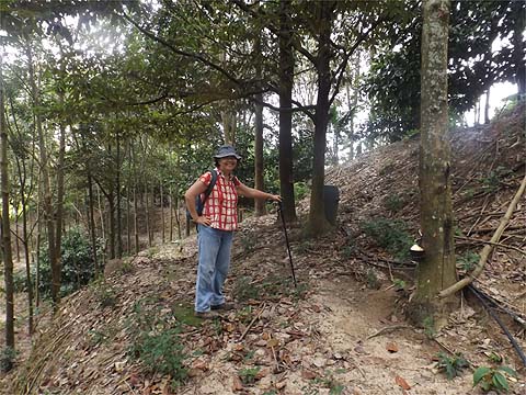
Eventually, it came out just below a hut on the main path up which I recognised as having the doziest dog in the area. The electricity pole here was NH 2 75 18 2, probably it would have been quicker to have come straight up, but climbing quickly has never been the point of these walks. We came from behind the camera and turned left. Just above the hut is a 4 way junction. Right is another way down, ahead is the main path up and left was previously unchecked by us. That made the choice very easy.
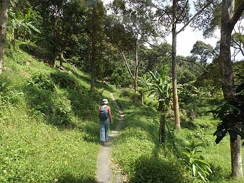
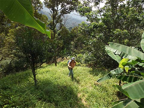
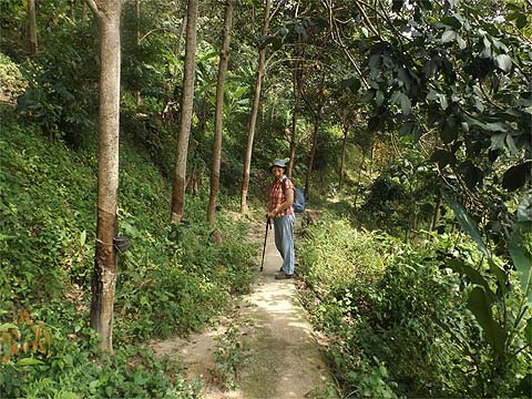
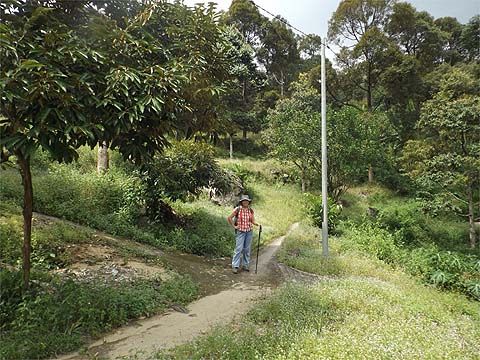
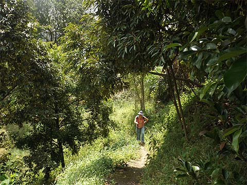
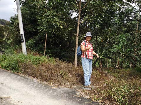
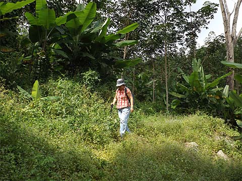
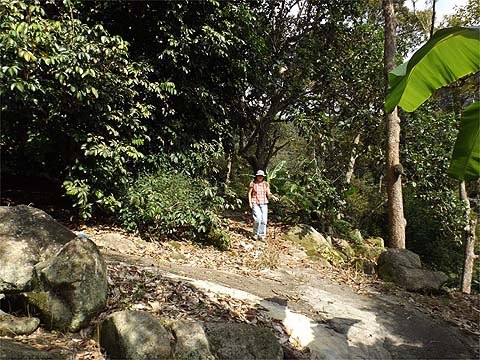
It's 'just another path' part open and part shade and it's well graded as the hill is less steep here. We failed to notice the grey clouds on the hill top.
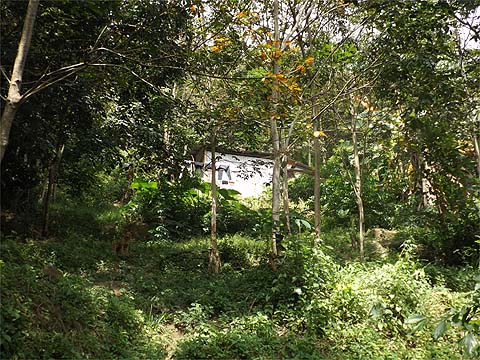
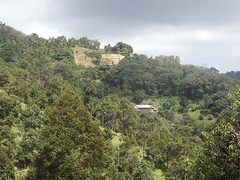
There was a view across to the Sacred Heart Lady's residence and the new zig-zag road is just out of sight on the right. Somewhere below us is the regular route up. There was just one minor junction which we ignored, keeping left and continuing the climb.
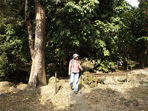
The path appeared at first to end at the hut but in fact, it's just a reversing point.
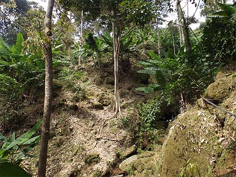
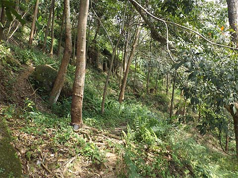
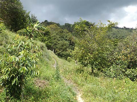
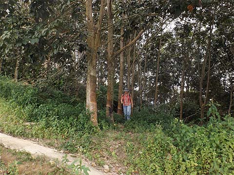
We temporarily emerged from the rubber before looping back into it. The path eventually died but we were right next to the ridge.
So we walked a few metres to it and found another path. This was somewhere we knew well, it's just above the Burmese Dahlia plantation which can be reached from the top of the road above 'The Valley' or from the road towards Bukit Elvira, but that involves a scramble up a steep rubber estate and this had been a far more civilised approach. We knew of the existence of the rubber but hadn't bothered to check how it was accessed before.
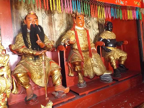
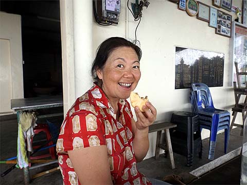
We ambled up to the temple, it was more than lunch time. I had some left over bread to polish off so Yuehong got more than her usual share of the coconut buns. Five minutes after we arrived, it started to rain, lightly at first and then with increasing intensity. We had been extremely lucky, we had obviously done nothing to annoy the gods who had obviously enjoyed their sniff of my Tiger.
We were stuck here for well over half an hour but it was not very long after 14.00 when we were able to continue our walk. We've done it many times, it's a concrete road and the junctions obvious, some time we shall bother to check the vegetable gardens higher up but conventional wisdom says there is no route up to and over the top of Bukit Elvira, the only known path being that at pole NH 2 21 which eventually leads to the 5 way junction on the path from Air Itam Dam to Titi Kerawang. We turned right at pole NH 2 9, that's the one that leads to the Sacred Heart Lady's house and the new zig-zag road down. At pole NH 9 23 we turned left and went down the concrete path. It's a service path for the young rubber, we had been down it before, but it leads to an area where we had yet to complete our surveys.
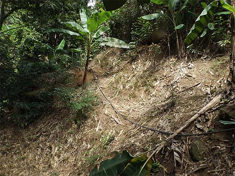
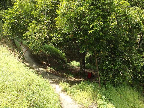
We knew we had to look for a path to the right along where the concrete levels out before it finishes. I had expected it to be difficult to spot and overgrown but it was obvious. Parts were a little overgrown but it was not at all difficult.
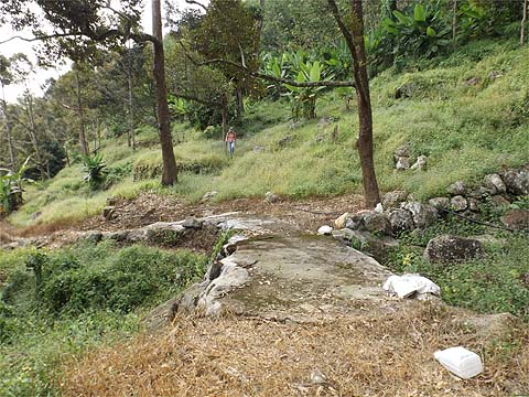
As expected we emerged at the top of the lower durian estate. We walked down, previously part way we had gone to the right and ended up in another durian estate further down the valley. We wanted to find out where this system finished.
We wasted our breath debating right or left down at one junction because very soon the paths came together again. We met the farmer coming up on his motor cycle, he gave us the kind of look which said "What the f*** are you doing here?". Clearly at the very least he assumed we we were lost especially when Yuehong told him we had come from the temple. He expressed incredulity, as these people always do, but when she explained patiently how it was done, he relaxed and told us how to get out - barely necessary but polite in the circumstances. There was just one significant junction, coming up turning left as viewed might not be a good idea.
We left the estate past a lockable pole and emerged at a house which we instantly recognised from the Balik Pulau Explorer 5 hike. Once again, we had been fooled by a path leaving from behind a house and we had gone straight on up the road to the right of it. Anyway, that filled in another missing link on the map.
It was 15.30, all we had to do was walk down to Balik Pulau and as we had plenty of time available, we took it very gently unlike two days previously when we had to spend the last hour racing. I didn't want to be too early or else my Tiger consumption might have been deemed excessive. So in effect, we have this side of the valley sorted except for the lowermost part near Balik Pulau. There are all sorts of combinations of paths available, routes are only limited by the unpleasant rocky stream beds between estates. I don't think we'll be back here in a hurry but it's good to have it when we get bored elsewhere. On the way down to Balik Pulau in the morning, the 501 bus had stopped to pick up a group of half a dozen hikers who had come over to Titi Kerawang having set out from Air Itam at dawn. They sat down near us and one of them said "At last I've met you! You're the steam man", obviously he was familiar with this section of my website, he proudly brought up a picture of Yuehong. It's good to know it has a serious local readership, I'd never know otherwise, as despite the email link at the bottom of every page, I get absolutely no feedback from Malaysians.
|