|
Penang Hills and Trails - The Tiger Hill Loop,
Part 1 |
|||||||||||||||||||
|
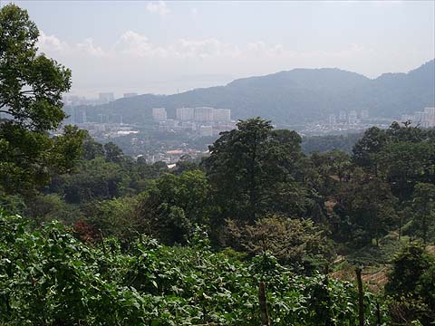
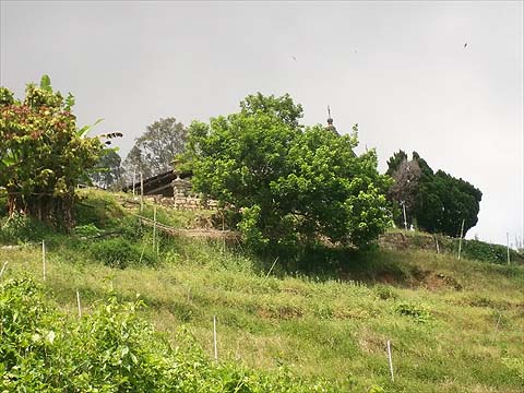
This is part of a series of pages on walking the hills of Penang. Click here for the index. This is a superb Grade 3-4 walk, mainly based on length although there is a lot of climbing involved too. Ideally we would have split it in two and used the Penang Hill Railway but the fare structure for non-Malaysians is a massive disincentive. Fortunately after an evening and night of rain, temperatures were cool although some of the laterite tracks were rather muddy. There is a sketch map at the bottom showing the route followed. Please visit my Penang buses page for information on accessing the starting point. We actually again used the path up from Air Itam towards the dam but when we came to the short linking path to the dam, we carried on up the road. It's well graded and mainly shady but with little in the way of views. The concrete path which runs from the small temple lower down leads to the larger temple shown (Lean Fah Tong) and it is possible to link with our route from it. One we sorted on another day...
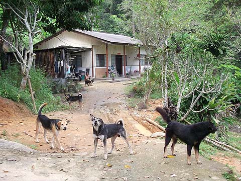
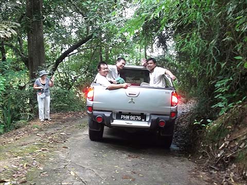
Although there were several junctions, the main route was pretty clear, the one time I checked the alternative, the dogs told me I was wrong. This was another set of typically stupid dogs, next to our road. I had to stand and talk to them for a couple of minutes while I waited for Yuehong to get past - she hates dogs after being bitten by one near a farm in the UK. We wish there were many more like the second picture...
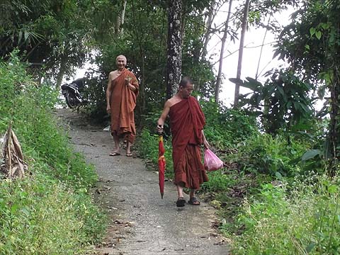
We passed a group of returning Buddhist pilgrims - this looks like cheating to me - who appropriately told us to take the 'Middle Way' at the next junction. The road continues to the left but how much further it climbs, we didn't find out till later.
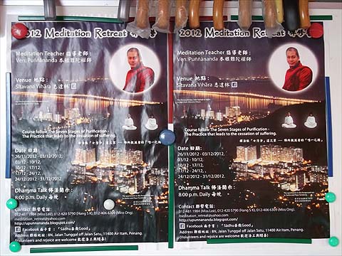
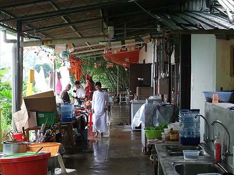
As we approached the Sitavana Vihara, we met two monks out picking medicinal plants. The Venerable Punnananda is from Burma and the place is obviously well organised and popular. The website is given as http://upunnananda.blogspot.com but this seems not much more than a record of his trailing round Asia.
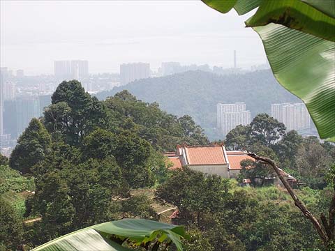
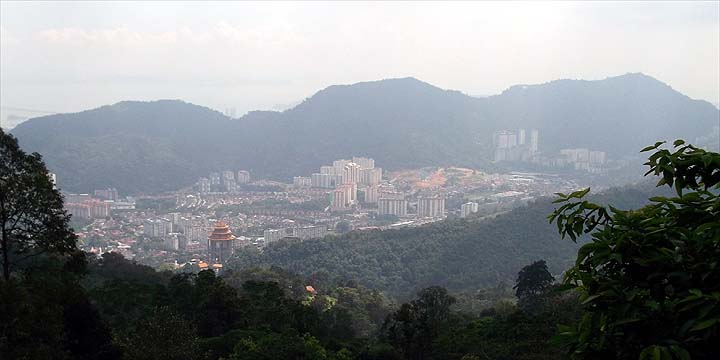
Those who attend have a nice view as shown in the poster, but it was hazy while we were here:
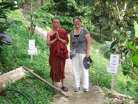
Everyone was very friendly, especially when we asked the way to the top of the hill and they were happy to show us the way.
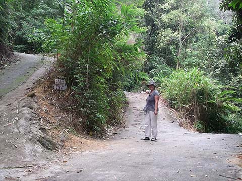
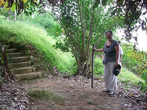
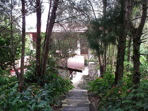
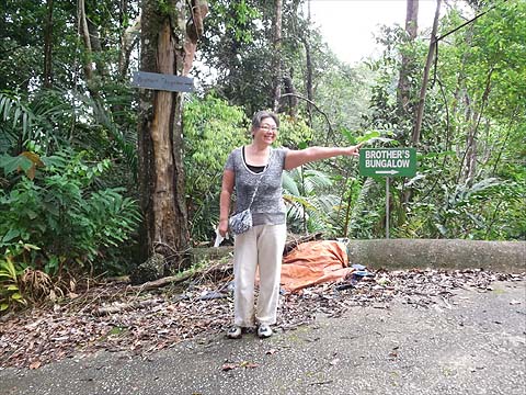
Basically, we followed the contour path north beyond the Vihara, climbing a few steps before continuing on the flat below the second set (behind Yuehong where the guide is). Where the cultivated area ended, there was a good forest trail which later emerged at the bottom of an overgrown formerly cultivated area with a bungalow (Mon Sejour) visible above. This section was in poor condition and very slippery.
We were told not to climb up to it and indeed when we returned to the forest, very soon we emerged close to the Brothers' Bungalow (the path is behind Yuehong but not immediately apparent unless you look closely). I have a picture of her rear view after the muddy traverse but it's not pretty.
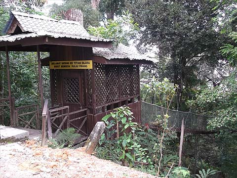
By now it was lunchtime and afterwards we walked up the zig-zag road (well signposted if you do this walk in reverse) to the Summit Road where we emerged near the entrance to the closed Canopy Walk feature.
Yuehong was quite rightly 'chuffed' with her first ascent of Penang Hill and we set out for the journey down via Tiger Hill Valley. There is a second route on the web passing rain gauges 28 and 29 on the way to the Summit Road, this runs to the south / left of ours, you can read about it in 'Rain Gauge Challenge' and 'Tiger Hill Ridge'. Click here for Part 2 of the Tiger Hill Loop, on the map below it starts at the pink square.
|