|
Penang Hills and Trails - A Forgotten Rain Forest Path Part 1 |
|||||||||||||||||||||||||||||||||||||||||||
|
This is one of a series of pages on walking the hills of
Penang, click here
for the index. This is a Grade 3 walk. There is a
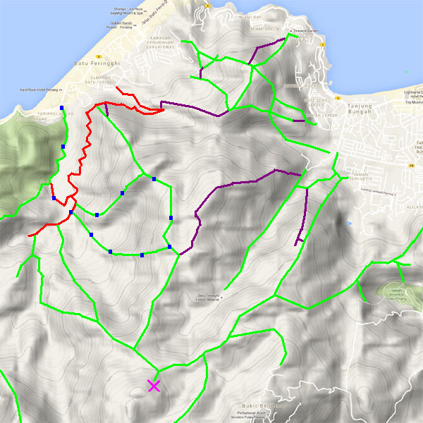
sketch map at the bottom showing the route followed. Click here
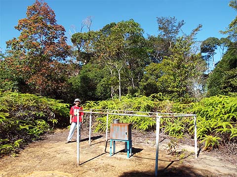
for a list of the known PBA rain gauges.
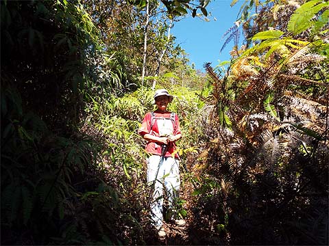
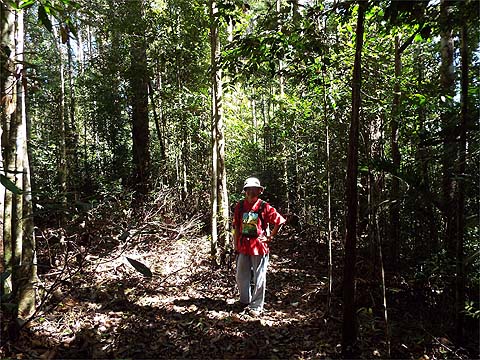
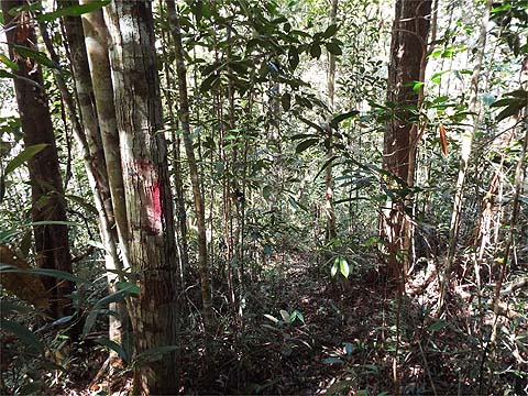
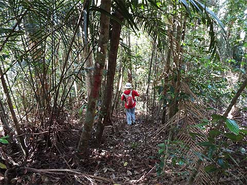
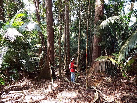
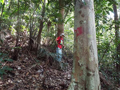
IMPORTANT By December 2023, the route from the Bayview Beach Hotel towards the Batu Ferringhi Reservoir past the 'Chin Farm' had been aggressively blocked by razor wire in the area where there is a gate by the water tank. There are also numerous signs stating "NO TRESPASSING - NOT A PUBLIC HIKING TRAIL" This will mean that there is no longer any access to / from any of these well known paths: 1. That to the Rimba at Teluk Bahang I do not know about current access through the main gate to the aqueduct above the former Holiday Inn. Part of my resources in planning hikes are two British Ordnance Survey style maps of Penang, one 15 years old and the other 50 years. Both show a path between the Fettes Aqueduct and the path between rain gauges 17 and 18 (although I have never seen any reference to it in hiking reports on the web). In October 2017 Peter van der Lans told me of his search for it: "Today was another tryout. I went to the aqueduct to explore the second set of steps just under the top of the aqueduct. As we expected it was only a few steps and after it was a proper albeit difficult path, heavy overgrown and obstructed. But the path was clear, at least for a while but after about 20 minutes the path completely disappeared. First some obstructions, thus I had to guess what would look promising. I found some potentials but all ended the same way: in massive thorn trees. Eventually after some time I reached the top of this hill. This was clearly cleared but a long time ago. I took good notice of where I came from and walked around but there was no way to continue in any direction than the one I came from. On the way up I did find the rectangular stone, which shows this was once used. No markings however. Finding the trail back turned out to be even more difficult than going up. Eventually I choose to go down in the direction of the construction noise and that worked perfectly fine despite hacking through the jungle. I came out of the jungle about 100 metres before the steps at a small stream. So that didn't work out so well." I tucked this information away in my memory until three days ago when coming over from Bukit Batu Ferringhi on the path between rain gauges 18 and 17 (RG 18 and 17), we saw a set of markers similar to those on the new 'Rain Gauge 7' path.
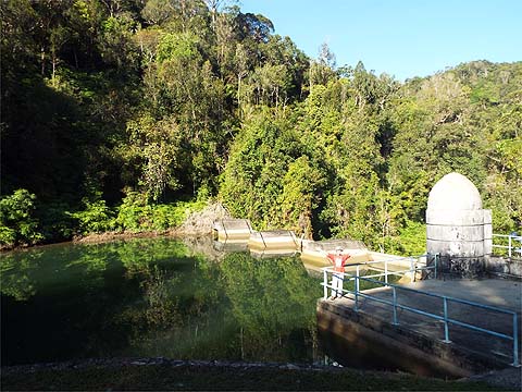
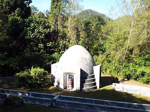
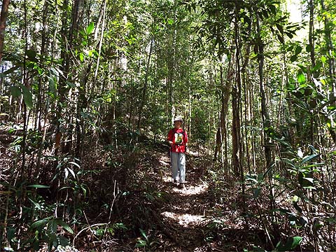
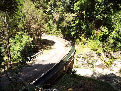
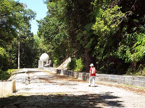
It didn't take me very long to work out that these were probably for the 'long lost path'. Today's expedition would surely reveal the truth. Mavis was parked opposite the Bayview Beach Hotel and by 09.15 we were ready to go. It proved to be a cloudless day with almost no breeze, in other words, a perfect day to visit the rain forest without any risks of the showers which have marred some of our hikes here. Batu Ferringhi Dam looked 'a picture' as did the 'egg' at the top of the lower aqueduct.
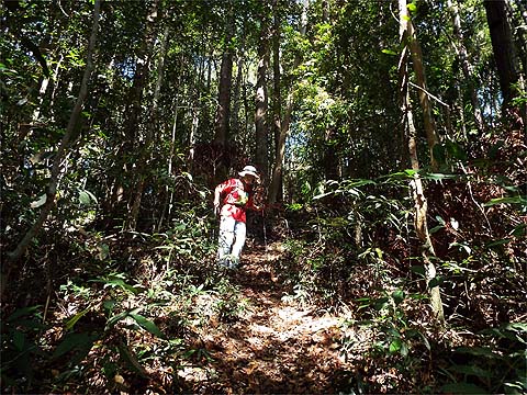
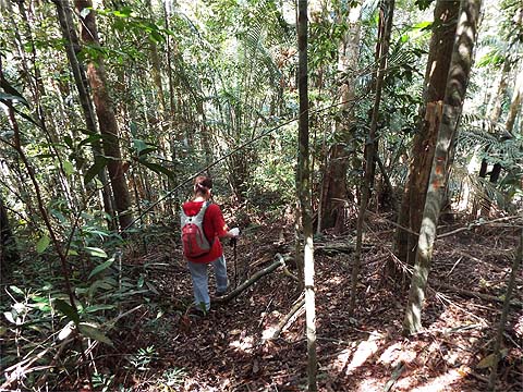
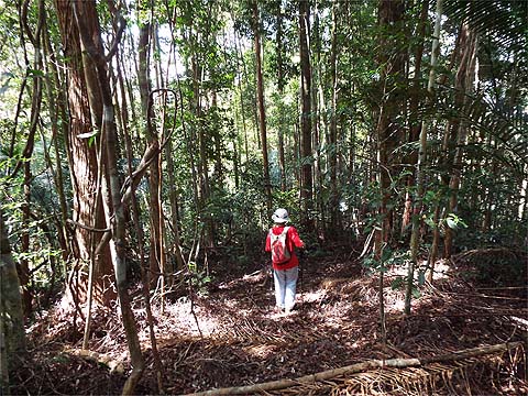
Three years ago when I first walked up from the aqueduct to rain gauge 17 (RG 17), it took me 65 minutes, a year later on Yuehong's first climb it took 75 minutes. Today without any special effort it took just 55 minutes. That's what happens when you do 66 serious hikes in Penang in 3 months.
As we had been here hiking in the opposite directions three days ago, we knew exactly what to expect. Firstly, without the benefit of regenerative braking we would descend 100 metres and ascend rather more.
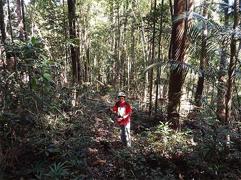
After a short flat section to recover, we would repeat a lesser version of the same.
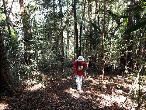
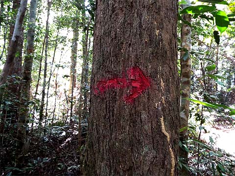
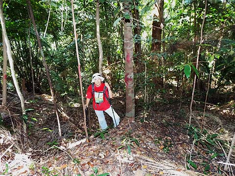
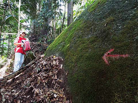
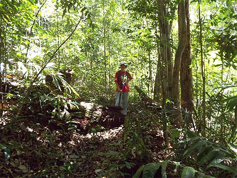
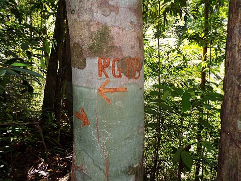
There's quite a long flat section after the second climb and we had to be careful to spot the marker arrow and the tell tale red dots on the trees on the right side. Including a water stop at RG 17, it had taken less than two hours from the aqueduct.
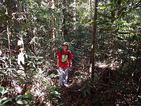
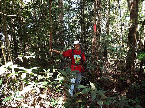
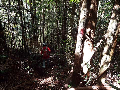
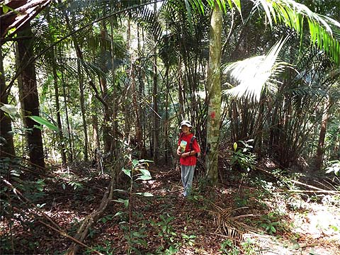
Naturally, we had no idea what to expect, save for a 500 metre near non-stop descent, but it turned out to be a well established path with markers all the way down which appeared to have recently been 'refreshed'. Who the kind people are who maintain this path remains a mystery.
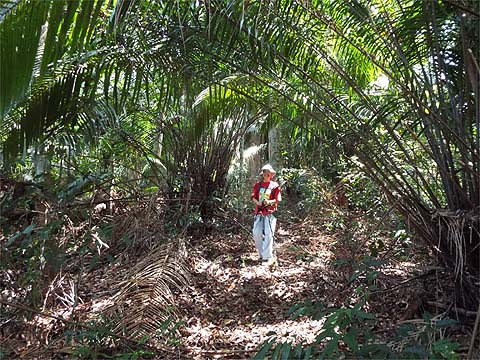
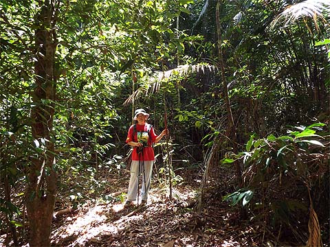
Yuehong tried it without her hat but in the end decided the risk from falling ants was too great. The best thing about the path was its generous covering of leaves which made it kind on geriatric knees.
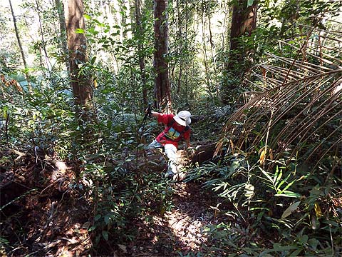
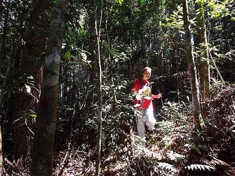
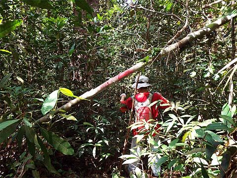
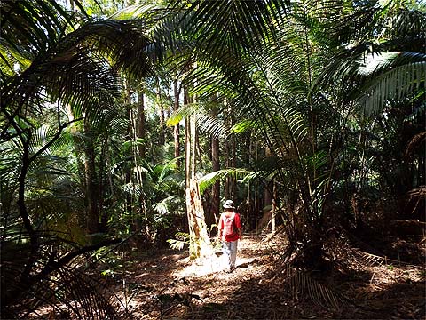
I recall only one slightly overgrown section although in a couple of places there were small trees down. Even without the markers, the early section would have been 'fool proof' as the ridge followed is quite narrow.
As it widened there were temptations but there should always be markers to keep you on track.
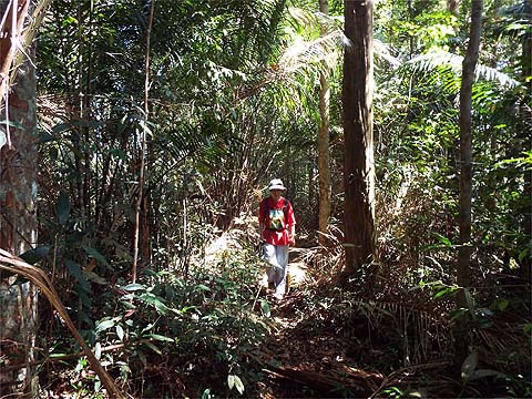
There was a brief lull in the descent which was more photogenic than most of the path.
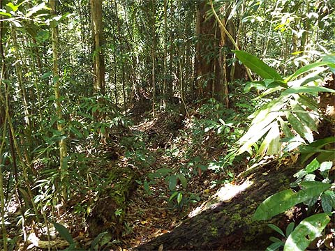
We were now paralleling a gully - no doubt the original path - and at one point there was a clear sign to cross to the other side. The prickly palms were never far away but were well spaced.
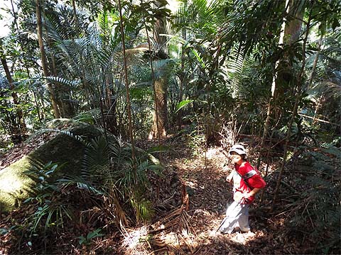
This was almost the only place we saw boulders, it was a good place to take a break, not of the normal kind as I didn't see any point in carrying a can or two all the way round until I felt safe enough to enjoy the contents.
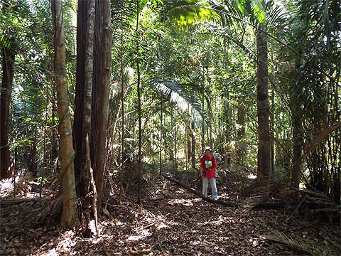
The trail continued to be well marked but as we emerged into a more open area, we noted that it would be easy to miss this right turn if going upwards. We next passed through an open area where we found the markers a little thinner on the ground.
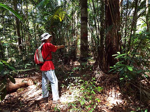
As we branched slightly left and then turned right, Yuehong called me back to show how the last turn was signposted, basically the original route was suffering from tree fall. It was good to note that the 'up' direction was also clearly marked.
We came to a point where we had to turn right and there's was an informative sign for those going in the opposite direction.
The picture doesn't do it justice but this was now a good path and we could see the aqueduct below to the left. To keep the PBA 'sweet' the paint cans had been put away. Ahead and some way below us now was the aqueduct.
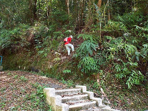
There is quite a drop but a rope is provided, the access point is just a few hundred metres from the steps which lead up to Bukit Cempedak. We were back with Mavis in about 6 hours gross overall, of which about 45 minutes were used to take breaks. Yuehong was delighted, these steep sections are very friendly for those with delicate knees and mean we can still enjoy rain forest trails.
This stay in Penang has allowed me to visit two previously unrecorded rain forest paths in the north of the island, most satisfying and although not on a par with discovering a route between Bukit Batu Ferringhi and rain gauge 18 (RG 18) which I rate as my outstanding contribution to exploring the north of the island.
|