|
Penang Hills and Trails - Paya Terubong Half
Circular |
|||||||||||||||||||||||||||||||||||||||||
|
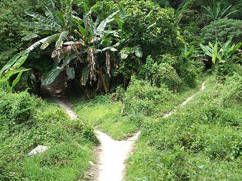
This is part of a series of pages on walking the hills of Penang. Click here for the index. This is a Grade 2 walk. There is a sketch map at the bottom showing the route followed. Please visit my Penang buses page for information on accessing the starting point. This account is linked from my Penang Peaks page which lists peaks over 400 metres as well as other places of interest and viewpoints. To find other hikes which visit this peak please check the maps of this are using this link. For a revisit to the first part of this walk, please check out the 'Keep Calm and Eat Kankung' page. EveryTrail carries a report - http://www.everytrail.com/view_trip.php?trip_id=1791406 (Link broken by 1st November 2018) - which is a circular journey above the Nanshan Eating stalls, half of which is very familiar to us. However, it used a path from near the summit of the Relau Pass which was not familiar and this was a fairly high priority item for me before we finished our 'UK winter' spell in Penang, not least because this was one of my favourite hash areas when I was living in Penang back in the 1970s. As you will read, I got it sorted in the end, but not quite as expected since I assumed that a mountain biker would ignore a route which is incapable of accommodating someone actually seated on the bike! Yuehong had some chores to do in the flat and in town which allowed me rather more freedom in terms of the way I could explore which was actually very welcome as it turned out, parts would not have met with her approval. I was very late getting out and my 502 bus got stuck in the George Town and Air Itam traffic so it was 13.45 before I alighted at the summit of the pass. The path starts just a few metres further on, under the transmission mast, somebody has a building project somewhere above and the materials are being ferried up by motorbike. It wasn't difficult to choose the left fork soon after I started to climb, it is far better used and seemed to follow the general direction I had expected.
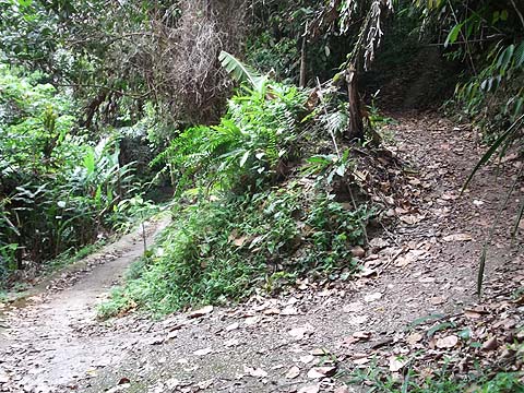
There were two paths off to the left but these obviously went just a short distance to houses. The next junction was less simple, initially I opted to go left as this had the power line. However, it came to this house which had seen better days and beyond the path appeared to peter out when it got to a fruit orchard scattered over the hill side.
So back I went and took the right fork which soon reached another fork. Again I mentally flipped a coin and tried the right side. This turned out to follow the contours very pleasantly, I got a familiar view but I could see that I was no higher than the Tua Pek Kong temple and the path finished at a house which, unusually, had Malaysian Indian occupants.
The left fork seemed rather less used but on emerging from a rather gloomy section, it improved and there were views of the nearby hills, followed by a full panorama towards the airport, not an area where I, for one, would ever consider buying a home.
As the path hugged the contours, above me I could see a cultivated area which I was fairly sure was in the general direction I needed to go, but there was no path which could have accommodated a bike. Rather more than an hour later, as you will read, its desirability was confirmed, but for the moment I stuck with the trail.
The path went across the front of a house, the only (canine) resident of which suggested that I had no need to bother looking for a path behind. Instead, I recorded a second view of the upper area I had just left behind, that's a small area of ginger below the cleared patches.
I was encouraged when I saw that the trail continued in front of me to another col with a hut.
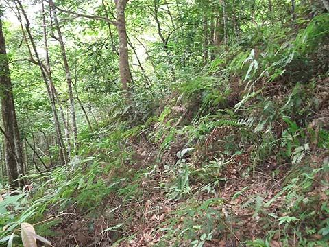
Below stretching into the distance were more gardens, alas my col path had expired and I did what I always do in such circumstances, I headed for the top corner in the general direction I wanted to go. As always it didn't look too promising but once inside I found myself in old rubber levels which were not impossibly overgrown.
It was a lot easier than it looked, I maintained my height for a few minutes and then when I saw light above made my way to the ridge where I found a cleared area. However, access was clearly from somewhere I had been before (to the left in this picture), probably the canine supervised house and back I went into the scrub,
This was a classic case where a GPS would have been no immediate help at all, in fact I knew exactly where I was as I had seen a small blue hut across the valley which we had previously visited (see the Garden in the Sky report), but as I was not the Brahminy Kite which was circling above me, I had no sensible way to get there - this hill is now a patchwork quilt of cleared and overgrown areas and I was back into another one of the latter.
5 minutes contour bashing later I could see light above me again and this time I had better luck. To my left was an extensively cleared area and behind this hut was a path to take me there.
I maintained my height past the next hut shown below and took the curve into yet another open area. I could see that the weather was turning unpleasant in George Town and closer to home I could see that I was rather higher than I ought to have been above the col at the top of the climb from the Nanshan Eating stalls, that was the Bukit Penara masts in the background.
There was no direct access, so I quickly dropped down about 50 metres and joined a path which would take me to the col. Being a pedant, I felt I really had to 'touch base' here even if I had to abandon my original plan which was to go on down to Nanshan. I needed to find where I ought to have come up rather earlier in order to avoid the scrub bashing.
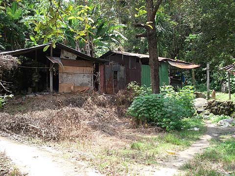
So back up and along I went and when I came to this small hut, I went down instead of climbing back from my previous ridge. At the bottom of the first slope was a trio of guest workers and behind them the path continued downwards.
There was a further small hut just below where the water pumps were working, the motorbike trail expired just around the corner but there was a small path onwards.
It may not have looked promising, but almost immediately I was in a large vegetable patch, recognisable as the one I had seen some time earlier looking up. As I went down I could see my path below, there was just the small matter of 10 metres of ginger to cross and as expected I found a small path where the open area finished.
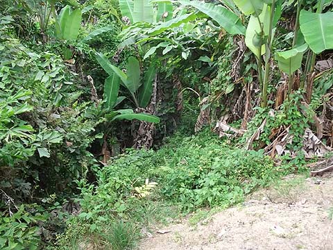
Now coming up, this would be very easy to miss, it's immediately after this small concrete bridge. Obviously if you miss it, you'll come to the house with the dog shown above and will know to retrace your steps! So now I had completed my recce and simply had to walk down to the top of the Relau Pass. I still had no idea how the intrepid biker had joined the two trails but I had a repeatable route as a walker. On the way, I was surprised to see a group of 11 Bukit Jambul hikers going up, I think they were even more surprised to see a single European coming down!
I'm not sure their timing was too good, it was spitting rain and the view out to the airport was now severely curtailed compared to before:
There was no way I was going to get a 502 bus to stop where I had got off as there is no space on the other side of the road at the summit. Instead I had to walk 500 metres down the hill to the first bus stop just beyond the traffic lights. As I approached it, the other would be passengers all stood up, not for me but for the bus which was arriving. I made a perfect connection with a 101 at Komtar and instead of having to worry which of us would get to our dinner date first, I found Yuehong waiting to get on at the stop just round the corner from Gottlieb Road near Gurney Plaza where she had been browsing the book shops. I was a little thirsty and I was not sorry to see heavy rain appear during dinner which gave me an excuse to enjoy a second bottle of amber nectar while we waited for it to finish. This route is a very nice alternative to that which we had used twice before, it's shadier and has the benefit of letting the bus do some of the climb for us.
|